Storms here to stay for a while
Published 2:00 am Monday, July 24, 2017
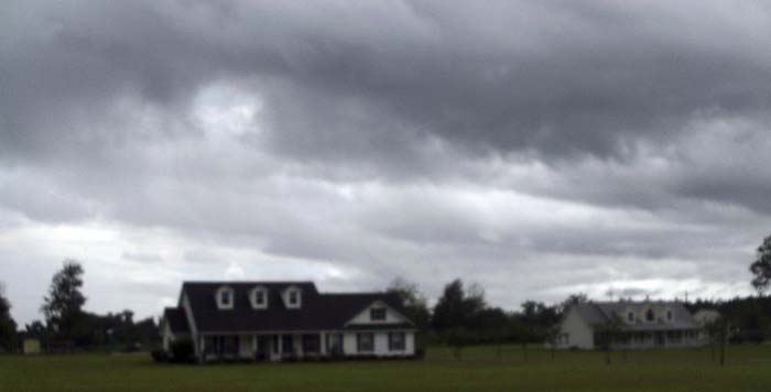
- Terry Richards | The Valdosta Daily TimesStorm clouds gather over Echols County Sunday.
VALDOSTA — South Georgia has settled into its familiar summertime pattern of late afternoon thunderstorms, according to forecasters.
The National Weather Service forecast calls for 50-60 percent chances of storms in the area for most of the upcoming week.
Trending
The culprit is a frontal system expected to move into the region and stall for several days early in the week, said Frank Strait, senior meteorologist for the private forecasting firm AccuWeather.
“It’s very unusual for (a front) to make it this far south at this time of the year,” he said.
Rain from the storm will be highly variable, with some spots under isolated storms getting two to three inches while other places get virtually nothing, said Andy Lahr, a meteorologist with the weather service’s Tallahassee, Fla., office.
The average rainfall over South Georgia should be a quarter to a half-inch a day, he said.
“The good news is, the storms will cool things down a bit, with below-average highs,” Strait said.
The weather service forecast calls for highs around 90 all week. Lows are expected to be in the mid-70s.
Trending
As the front falls apart at the end of the week, highs should climb back into the mid-90s before another frontal system moves through on the weekend, Strait said.
Neither forecaster foresaw any widespread severe weather, though Strait said flash flooding could be a concern in areas where storms hover and dump more rain.
Terry Richards is senior reporter at The Valdosta Daily Times.
-
eEdition
-
-
